Wild Dog Mountains walk Dunphy’s camp to Breakfast Creek, Ironmonger hill 14 Dec 2014 17km
This was a bit of an exploratory walk for us, not having completed any of the trails prior to this so a little unsure what to expect, the day before we did a long day hike from Wentworth Falls station down Charles Darwin track to Bridal Veil falls up Rock Point lookout along the cliff tops and up to Kedumba Valley Road then the long fire trail down to Kedumba flats to explore the homestead, camping area and a quick dip in the Kedumba river, yes we took the long trail back up to Wentworth falls but had the cars waiting at Queen Victoria Hospital (no dilapidated) for a short drive to the pub and a well earned cold beer!
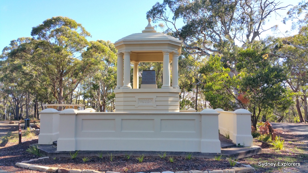
We camped overnight at Mt York memorial a handy free camping area with wonderful views through the valley to Hartley and Hassans Walls, toilets and water are available but its tank water so best take some with you. An early start for a coffee top up at Altitude Deli and a lovely bacon and egg sandwich with HP sauce just a great way to start another glorious day walk in the Blue Mountains, namely our wild dog mountains walk
We met everyone at the train station, plenty of drop outs leading up to todays walk due to a 9am start and public transport issues, this meant we would have a great social walk and quicker too, we jumped in cars and headed off to Dunphy’s Campground out by Carlons Farm, coming from Sydney (Katoomba) turn left at the traffic lights into Bundurra Street then immediately left into Station Street, 100m later at the end turn right following the signs for Megalong Valley, after about 750m turn left following tourists signs to Megalong Valley.
The drive through Megalong Valley is worth a day trip in itself, beautiful Australian bush, farmland and those majestic high sandstone cliffs towering above each side, sun was shining, blue sky draped all around us with all the colours of green glistening everywhere.
After about 13km of tarmac road you cross a small bridge with a campground to your left, carry straight on which turns to an easy gravel road then after about 7km or so come to a farm house and a couple of gates, one over a wooden bridge, we nominated a passenger to jump out open and close the gates after all cars had driven through as you drive up the hill you come to a T junction, turn left (sign parking 200m) and Dunphy’s Campground comes into view, gas BBQ, picnic tables, rain water tank and lovely views over the valley.
I checked everyone in did my introduction and off we set down the hill we had just driven up for 200m and over a stile to our left, signposted Carlons Creek 2.7km this we were later to find out covered with stinging nettles! Was this really how our day would be spent on our wild dog mountains walk?
After the first 100m or so I decided in my infinite wisdom of wearing shorts on this walk that it was better to find a stick and beat some of the bigger nettles, this was getting annoying, our token female on the walk Yen chose to wear long hiking pants and was still getting stung through them, Enrique the smart cookie he is had both long pants and gaiters, we struggled through this 2.7km track beating, stamping and cursing (quietly) our way along this trail until finally the junction with Breakfast Creek, no nettles, a quiet spot to rest for morning tea and enjoy the sounds of trickling water, the sun dancing on the ripples, birds singing which was immediately broken with a shrill from one of the guys “Oh I got a leach, aaahhh I got a leach, its ugly aaah I got a leach” We threw him some insect repellent within seconds it dropped off, only to hear another shrill “Aaaah I got a leach, give me some insect repellent quick throw the the spray quick quick aaahh its aweful” a few comments from others much more sedately stated they too had a leach but poked them off shoes/socks etc with sticks and all was good
We headed off along the unmarked but well formed trail along Breakfast Creek, basically straight on, this track follows Breakfast Creek all the way to Coxs River junction which it flows into, many times criss crossing over the creek sometimes difficult to find the track but with patience and good eyesight we picked up the trail each time passing some lovely pools worthy of a cooling dip but time was not on our side, we lost over an hour coming down through those dam nettles and had to push on, enjoying the views as the sun filtered through the tree tops and lit up little puddles of brightness in the shade.
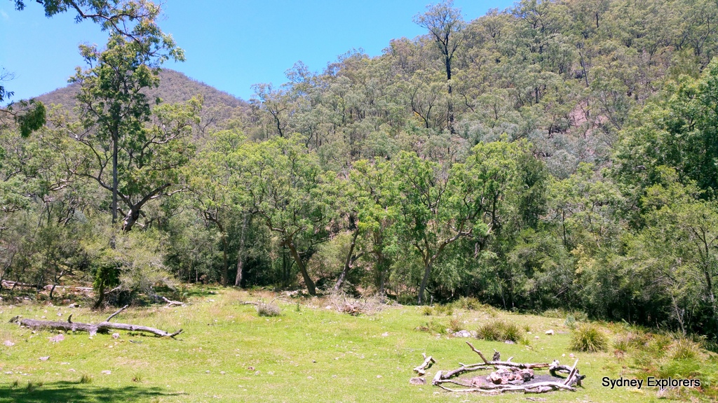
After around 5km we walked into Frypan Flat campground a great little open grassland campsite, looks as though it has been visited recently and often by the looks of the big fire mound in the middle so may get busy on weekends/public holidays, no facilities just on the banks of the creek.
We stopped for a quick snack and pushed on wanting to get to Cox’s River for lunch, we estimated around 2km to go and figured an hours worth of walking hopping over stones, criss crossing the creek and find the trail, sure enough 50min later and we were walking into and open valley where the Cox’s River flows past, Breakfast Creek joins and plenty of grass to plonk our tired limbs in the shade on. Nobody opted for a dip in the river but it did look tempting, we all had one eye on the ridge we had to climb up to, it did seem like a long way up from where we were sitting.
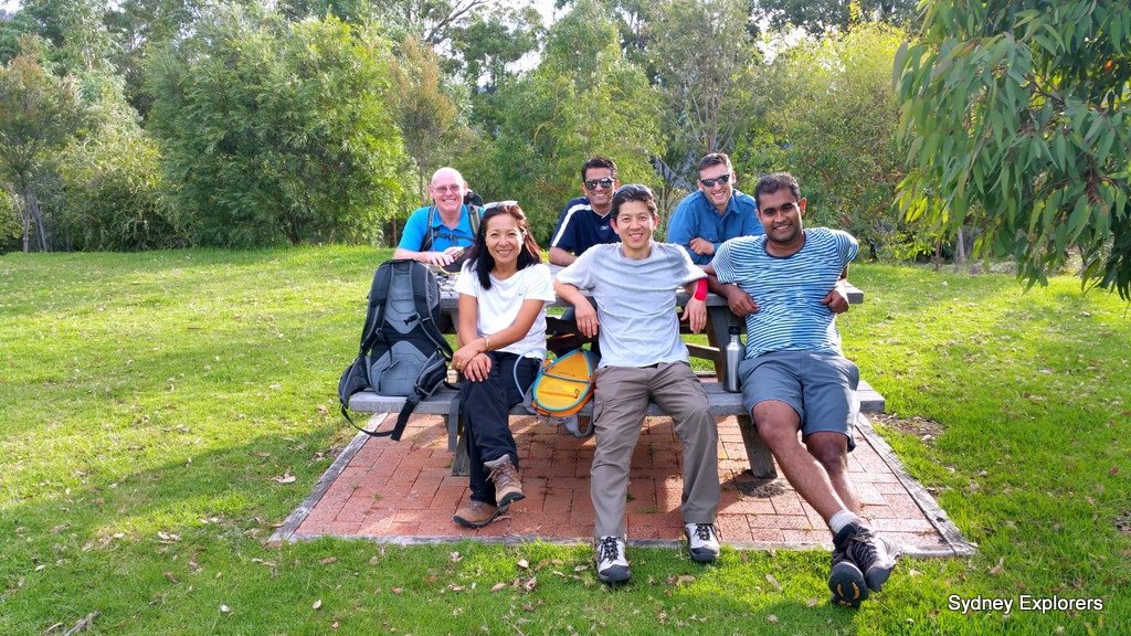
Lunch was a social affair, relaxing and enjoying a natter in the warm of the afternoon, sun filtering through the trees, a gentle breeze blowing down the river and soft green grass underneath us for our weary limbs. Over half way of our wild dog mountains walk what a great way to relax and enjoy this strategic moment!
We picked ourselves up and explored the area for a bit finding a large sandy campsite on the banks of the river a little upstream whilst having a look around for the track up to Ironmonger hill, nothing found where the map says it is (around 50m back up Breakfast Creek) so we simply climbed up the embankment until we crossed the trail, up, up and up some more, using a GPS to track our progress still needed to go up, we were tracking in the same direction as the trail but not climbing high enough, it was steep, a bit of bush to bash through but not too overgrown, but still we climbed up, eventually crossing the trail, we followed this up some more with some “are we there yet” comments and gee are we still going up, yep we were and views were getting dam good too, total ascent to the highest point on the track was 670m on a hot sunny afternoon, we were relieved to reach the top of Ironmonger hill at 700m followed a ridge around to the highest point on the track and a fantastic narrow ridge with long drop offs either side, we stopped at a large stone the size of a bus hanging on the edge just waiting to slip down the hillside, we stopped as we had to walk underneath it!
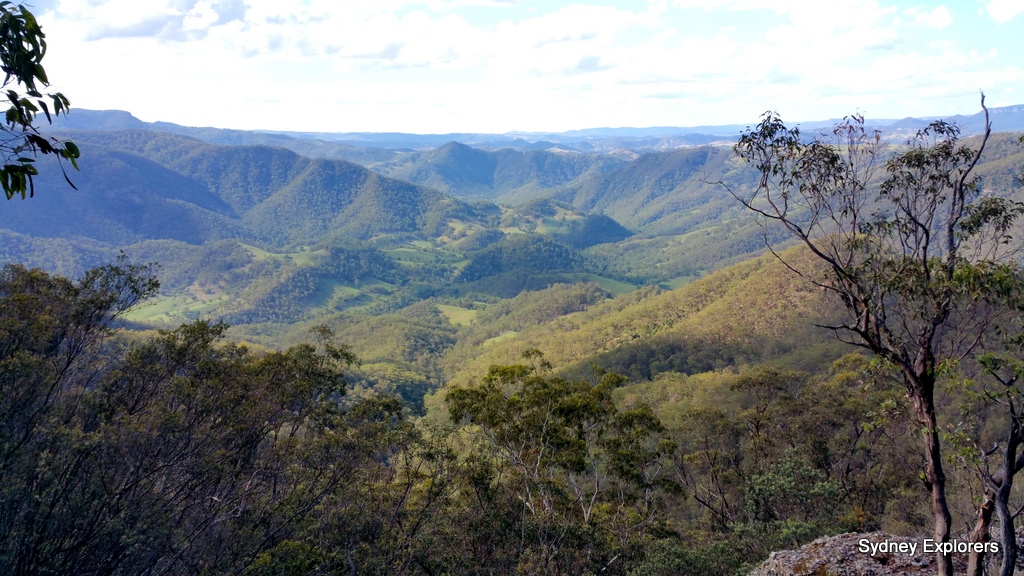
The ridge offered gorgeous views of the Megalong Valley sun bright and a few clouds breaking up the blue sky, a cooling breeze very welcome and chatter became the norm rather than heavy breathing and huffing and puffing, along with camera clicks and whirring mobile phones as messages came pouring in with reception, we were close to returning back to the cars, with just one more climb to the highest point on the track, here a few of us ran out of water but were all fairly well hydrated, a right turn fairly easy going now but we were all getting tired, aching limbs, then through the trees we could see a dirt road, some buildings and new we were nearly there, the gps says 749m to go wow I started the countdown, down the steep track off the ridge, zig zagging down steeply to an open fire trail and farmland hey everyone 450m to go! Walking up the fire trail through a farm gate, a farm on the left with gorgeous location offering views up the valley and those majestic Blue Mountain sandstone cliffs, and onto a gravel road, 197m to go everyone, then a junction a style on the right, we could see the cars across a small valley should we follow the cars of through the valley, lets take the road came a cry its easier and only slightly longer! Off we set and the gps reset and 940m to go! Sigh but at least it was an easy gravel road and we knew shortly we would be drinking water from the rain tank soon, finally after rounding the corner the sign at the junction parking 200m up hill!
I pointed out to everyone water tank at the BBQ’s for anyone short of water, a few of us filled our bottles, bladders and drunk, washed our face and refreshed ourselves, then someone shouted mosquito larvae in the water! All a bit late now after drink half a litre of it…
A most enjoyable walk, very scenic offering a vast array of different views and flora, we saw plenty of Kangaroos, Wallabies and several very large Goanna one feeding on a wallaby carcus.
All in all a great day out on our wild dog mountains walk!
wild dog mountains walk: Total walking distance 17km grade medium/hard
wild dog mountains walk: Directions from Blackheath
Cross the railway line at Blackheath into Bundurra Street, turn immediately left following tourist signs to Megalong Valley into Station Street, at the junction about 100m turn right into Shipley road then follow this for around 13km cross the small bridge with the campground on your left, carry straight on to go through 3 farm gates (remember to close them after you) the road turns into a gravel well graded road ok for 2wd vehicles in the dry, past the old green gully farmhouse and up the hill to a junction, parking sign 200m turn left and find the parking 200m up the hill.
wild dog mountains walk:
From the parking area at Dunphy’s Campground walk back down the hill where you have just driven up from and turn left over a style (signposted Carlons Creek Track 2.7km) follow this track to Breakfast Creek and carry straight on along the creek hopping to and fro over the creek, fairly easy track to follow but not signposted, at Frypan Flat campground walk down the hill through the campsite and at the back of the campground follow the breakfast creek track alongside the creek again hopping to and fro over the creek to Cox’s River junction, here it becomes hard to find the track up to Ironmonger hill, basically you need to head up the to the ridge on the other side of Breakfast Creek you have just walked down, you will cross the path eventually just keep going up! Follow this trail all the way to the junction at the sign 200m to parking and you are back to the start!
Note: Always be prepared when bushwalking, carry enough water, purification and adequate food/snacks for your walk, never go without a map, compass, and personal locator beacon, first aid kit. For more information see the NSW National Parks website about staying safe: http://www.nationalparks.nsw.gov.au/safety/bushwalking


